


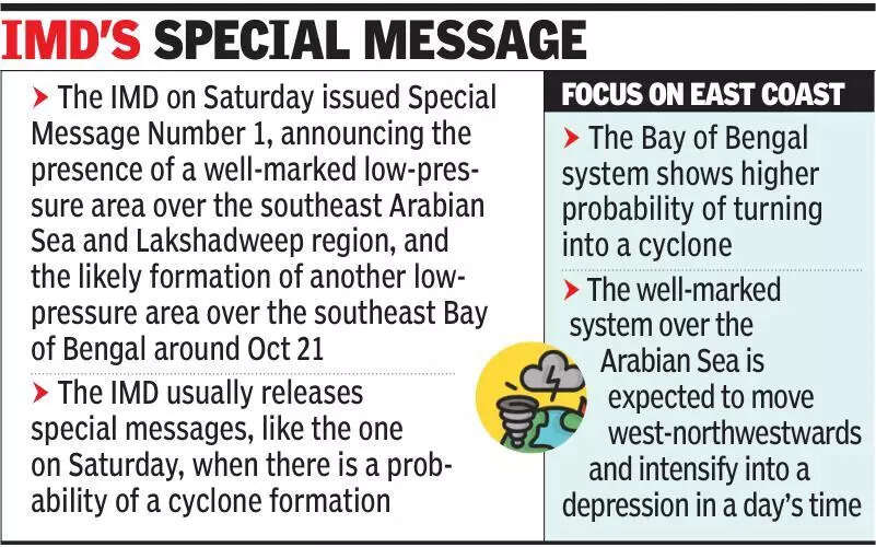

Pune: The IMD on Saturday announced the presence of a well-marked low-pressure area over the southeast Arabian Sea and Lakshadweep region, and the likely formation of another low-pressure area over the southeast Bay of Bengal around Oct 21 showing higher probability of turning into a cyclone. According to India Meteorological Department (IMD)’s Special Message Number 1, the system over the Arabian Sea formed early Saturday morning. The well-marked system is expected to move west-northwestwards and intensify into a depression in a day’s time. The second system is expected to form over the Bay of Bengal in the next three days. It could strengthen into a depression over the central parts of south Bay of Bengal and adjoining west-central parts of the Bay soon. While the IMD has not yet indicated the likelihood of cyclones, independent weather experts suggested that both systems had the potential to intensify further into cyclones. The IMD usually releases special messages, like the one on Saturday, when there is a probability of a cyclone formation. A senior IMD official said, “An Arabian Sea cyclone does not seem that probable, although we have indicated the chances of a well-marked low pressure and its intensification into a depression soon. The Bay of Bengal system may turn into a depression. By Sunday, we should have more clarity. The Bay of Bengal system does have a high probability of turning into a cyclone.”Skymet Weather Services president G P Sharma said, “The Bay of Bengal system is likely to be stronger than the Arabian Sea system. The latter may not affect our coastline significantly, except for bringing rain over Kerala and coastal Karnataka. The Bay of Bengal system, on the other hand, is likely to be more powerful and may even move towards the Tamil Nadu coast, though it’s still a little early to say. The Bay system may impact our region more and is likely to intensify rapidly. Usually, such systems at that latitude have a history of moving across the southern peninsula towards the Arabian Sea and can eventually head towards the Gujarat coast. As of now, these are the early indications.”Another Skymet Weather Services official said, “The depression over the Arabian Sea will move northwestwards, away from the Indian coast, but could bring isolated heavy rain to Lakshadweep and Kerala. The Bay of Bengal system may head towards the south Andhra Pradesh and north Tamil Nadu coast by October 23. Both have the potential to become cyclones, though clarity will emerge once they intensify into depressions.” The IMD has issued a yellow alert for parts of Maharashtra, including the Western Ghats and Pune district, forecasting light to moderate rain or thundershowers in the coming days because of the influence of the Arabian Sea system. Weather models suggest that while the Arabian Sea disturbance would remain at a safe distance from the Indian coastline, its presence is likely to bring intermittent rain and thundershowers over Kerala, coastal Karnataka, Konkan and Goa in the coming days. Officials said further updates would depend on how both systems evolve over the weekend, with more clarity expected once the Bay of Bengal disturbance formed and the Arabian Sea system intensified into a depression.