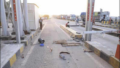


New Delhi: The season’s strongest thunderstorm yet rolled in to Delhi with the arrival of June, accompanied by widespread light to moderate showers. Unlike the storms in May, there was no widespread serious damage to life and property. The storm disrupted flights, impacted traffic and left many areas waterlogged.The storm’s intensity, with squally winds reaching 96km/hr at Palam, knocked down trees and disrupted power supply in some areas.Due to adverse weather in Delhi, 14 flights were diverted — two were to Chandigarh, two to Amritsar, seven to Jaipur, one each to Ahmedabad, Dehradun and Lucknow. The flights were diverted between 4.30pm and 6.10pm.This marks the sixth major storm this season, as June followed the lead of May that saw five storms which cost 12 lives, impacted infrastructure, and uprooted over 350 trees. During the last storm on May 25, the wind speed reached 82km/hr. The India Meteorological Department (IMD) has issued a yellow alert for Monday and Tuesday, forecasting that there was a chance for similar weather as well as the possibility of light rain and winds that may gust up to 60km/hr. On Monday, the extreme weather activity is likely to occur towards late afternoon or early evening, the IMD officials said.“Wind speed touched 96km/hr at Palam around 4.30pm, followed by a peak speed of 81km/hr at Pragati Maidan at 5.15pm. At Safdarjung, it touched 80km/hr, also around 5.15pm. The storm was of moderate intensity over southwest and north Delhi but intensified when moving towards central and east Delhi. Rohtak and Jind did not report speeds of more than 40km/hr, and it was 39km/hr at Najafgarh,” said IMD scientist Krishna Mishra.While several trees came down and branches fell, there was no major damage reported from anywhere. Some areas saw traffic disruptions due to the fallen trees, including traffic on the Outer Ring Road in the carriageway from IIT towards Munirka. On this route, the stormy winds had knocked down a large tree in the area near some DDA flats. Another tree fell near Tilak Bridge. Videos shared on social media also showed that another tree had got uprooted at Kaveri Apartments in Vasant Kunj.IMD weather scientist Mishra said that the storm was triggered by a western disturbance and cyclonic circulation in the region, fed by additional moisture from the Arabian Sea. “We currently have a western disturbance as a cyclonic circulation over north Pakistan. There is also a cyclonic circulation over Haryana at the lower tropospheric levels. This led to moisture being fed from the Arabian Sea, which created the thunderstorm,” Mishra said. The weather scientists expect the impact to continue till Wednesday.According to IMD, Safdarjung received 15.8mm of rainfall, Lodhi Road 12.6mm, Rajghat 17.8mm, Palam 7.4mm and Pusa 13.5mm.May logged a cumulative rainfall of 186.4mm, making it the wettest May ever recorded in Delhi.Sunday’s rain and storm led to a sharp, and welcome, fall in the maximum temperature by up to 14 degrees Celsius from 38 degrees Celsius at 3.30pm to 24 degrees Celsius at 5.30pm. At Safdarjung, it fell from 37 degrees to 23 degrees Celsius at 5.30pm.On Sunday, the maximum temperature at Safdarjung was 37.9 degrees Celsius. The maximum on June 2, Monday, is expected to be 36-38 degrees Celsius. The IMD has issued a yellow alert, as it expects rain and thunderstorms until Tuesday. However, the maximum temperature may reach 40 degrees by June 6.Online data has shown that not only were flights diverted, several were also delayed. Over 350 flights were delayed, according to the flight tracking website FlightRadar24. The average delay was for 65 minutes.The rain improved the air quality from poor to moderate. The air quality index (AQI) was 197 or moderate on Sunday, against 241 a day earlier. According to the Air Quality Early Warning System, the AQI is likely to remain moderate till Wednesday.