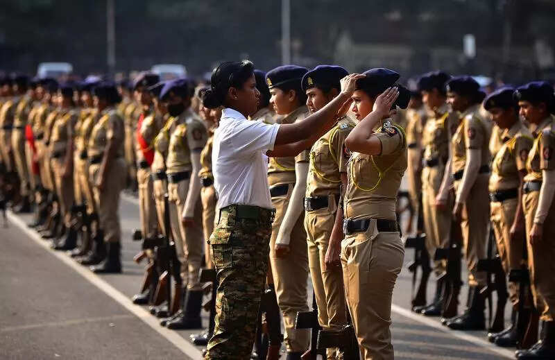


Pune: The northward advance of southwest monsoon, which had been ahead of schedule in parts of the country, has stalled since May 29. Experts said while the monsoon reached parts of Maharashtra, south peninsular India and northeast India earlier than normal, further progress was likely to remain stalled for the next 7–10 days.The experts were of the view that there might be little to no movement for at least a week to 10 days. “The system earlier over the Bay of Bengal which was supporting monsoon advancement has weakened,” an India Meteorological Department (IMD) official said, adding that its further advancement was unlikely in the immediate future.“Unless a new system develops, progress is doubtful over the next few days. Forecast models are showing early signs of a possible system in the Bay of Bengal after June 10. But it’s too soon to rely on that. Some signals can be seen in the extended range forecast. We can’t say anything definitively yet. A fresh Bay of Bengal system is typically essential for the monsoon to pick up again,” the official said.While there could be some northward movement of the monsoon trough or interaction with a western disturbance, any impact on the mainland monsoon was uncertain, he said. “We can’t say progress won’t happen at all, but the chances are low for now.”The monsoon’s earlier-than-expected advance in May was driven by two strong systems — one over the Arabian Sea and another over the Bay of Bengal. “Those systems pulled the monsoon forward quickly. However, both have now weakened,” the official said.G P Sharma, president of Skymet Weather Services, said the monsoon was likely to remain stalled for now. “We expect the monsoon to halt for a week to 10 days. It currently remains weak, and neither the Arabian Sea nor the Bay of Bengal arm is likely to show significant advancement in the immediate future,” he said.While Sharma said marginal progress might be seen around Gangetic West Bengal and Kolkata, the interiors of Bihar, Jharkhand and eastern Uttar Pradesh may not see advancement for more than 10 days. “Even West Bengal may not be fully covered in the next few days. The system over the Bay has weakened further and will likely become insignificant by Sunday,” he said.Sharma added that what little activity is observed in northwestern India will mostly be pre-monsoon in nature. “Punjab, Haryana, Delhi and parts of Rajasthan may continue to see dust storms and pre-monsoon showers. But this is not the true monsoon rainfall,” he said.In Maharashtra, the monsoon is unlikely to progress significantly beyond Mumbai in the near term. Sharma said: “There could be isolated movements in Marathwada and Vidarbha, but not much more. With little oceanic support, the monsoon’s pace will slow and may stall completely over central India for the next few days.”Akshay Deoras, research scientist at National Centre for Atmospheric Science, University of Reading, UK, said: “The onset progression of the monsoon in India is a tug-of-war between moist oceanic monsoon winds from the Indian Ocean and dry air that comes from the arid regions to the west and northwest of India. The dry air is generally prevalent over the country during May and early June, but the situation was much different this year due to thunderstorms and other weather systems.“He said: “A blast of dry air is now entering India and has started stalling the monsoon. Its intrusion is connected to weather activities as far as western Russia, where a strong high-pressure region has formed and it is pushing dry winds via Pakistan and Afghanistan into India. The dry air is here to stay until at least 10 June. As a result, a robust progression of the monsoon is unlikely in this period. Most of Maharashtra will witness mainly dry weather until at least June 8. Only the west coast will get a few showers in this period.”An IMD forecast stated that Pune city was expected to see mainly clear skies, becoming partly cloudy sky towards afternoon and evening till June 6. Another IMD update showed only isolated to scattered rainfall in Konkan, Madhya Maharashtra, Marathwada and Vidarbha in the next few days.